
Critical Infrastructure & Facility Security
Map spatial relationships between digital assets, industrial installations and surrounding geographic features to understand perimeter exposure and environmental risk.
How the sector deploys itInterpret location-related information associated with digital assets, public data and authorised sources: place relevant observations in geographic context, examine spatial patterns, visualise available data on maps with uncertainty explicitly documented, and maintain disciplined intelligence boundaries for research, operational planning and security investigations.
Where it looks
Interface simulation: an illustration of the workflow, not a live analysis
What it is
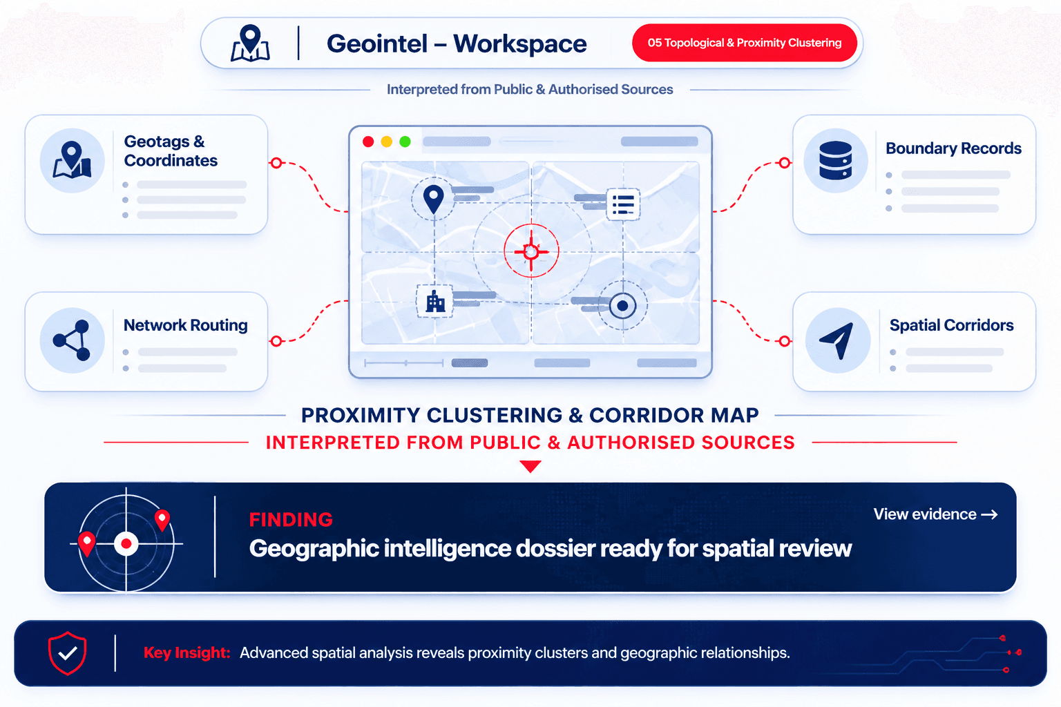
GeoIntel supports geographic analysis by interpreting location-related information associated with digital assets, public data and other authorised sources. It can help analysts place relevant observations in geographic context, examine location patterns and visualise available data on maps for research, operational planning and security investigations.
Depending on the source, geographic indicators may include coordinates, mapped infrastructure or approximate location metadata; the precision and reliability of each indicator can vary significantly. GeoIntel is important because location context can make complex datasets easier to interpret and can help teams identify geographic relationships that are less apparent in raw records.
Capabilities include geographic data analysis, map-based visualisation and location pattern review, with uncertainty clearly documented and no assumption that an IP address or online identifier reveals a person’s precise location.
Key capabilities include analysis of available geographic indicators, map-based visualisation of location data, and review of geographic patterns and relationships.
Geographic indicators
Interprets coordinates, mapped infrastructure and approximate location metadata from public and authorised sources
Map visualisation
Renders location data, asset footprints and clustered points of interest on interactive spatial layers
Pattern review
Examines spatial-temporal movements, recurring geographic nodes and relational proximity across datasets
Documented uncertainty
Explicitly quantifies precision bounds; rejects assumptions that IP addresses reveal a person's exact location
Interactive Geographic Visualisation
Explore multi-source geographic indicators, interactive map-based layers, and explicit uncertainty radii.
Map-based data visualisation, spatial proximity clustering and explicit uncertainty bounding.
Public IoT telemetry & municipal maritime infrastructure registry
Exact geodetic coordinate fix from static automated container terminal scanner.
Location indicators provide spatial context, not proof of individual physical presence. Network routing points must not be conflated with person-level location without independent corroboration.
How it works
Identify target digital assets, open data records, or published location metadata in scope
Extract GPS coordinates, EXIF geodata, IP routing allocations, and place name references
Calculate explicit confidence radii, sensor tolerances, and source reliability bounds
Standardize coordinate datums, regional geometries, and infrastructure topography
Surface spatial co-location, recurring centroid nodes, and geographic correlation corridors
Enforce strict warnings against equating network infrastructure to individual physical presence
Synthesise interactive map layers, spatial timeline tracks, and audit trails for review
Interface simulation: an illustration of the workflow, not a live analysis
Identify target digital assets, open data records, or published location metadata in scope
Extract GPS coordinates, EXIF geodata, IP routing allocations, and place name references
Calculate explicit confidence radii, sensor tolerances, and source reliability bounds
Standardize coordinate datums, regional geometries, and infrastructure topography
Surface spatial co-location, recurring centroid nodes, and geographic correlation corridors
Enforce strict warnings against equating network infrastructure to individual physical presence
Synthesise interactive map layers, spatial timeline tracks, and audit trails for review
Capabilities
Replace speculative location guesses with systematic, uncertainty-bounded spatial intelligence.
Multi-source geographic indicator analysis
Interface simulation: an illustration of the workflow, not a live analysis
Comparison
Why disciplined spatial analysis requires explicit uncertainty bounding rather than speculative pin-pointing.
Multi-indicator ingestion & parsing
Explicit uncertainty & confidence radii
Safeguard against IP-to-person false precision
Public-only & authorised non-invasive data
Spatial-temporal pattern clustering
Sovereign deployment & air-gapped GIS
Investigation audit trail & GIS export
The architecture
Geodetic normalization, explicit confidence bounding, and sovereign spatial clustering
Identifies target digital assets, open data records, or published location metadata in scope
Normalizes geodetic datums, calculates explicit uncertainty bounds, and groups spatial proximity clusters
Strictly lawful OSINT from publicly accessible sources. Coordinate queries, spatial map layers, and investigation dossiers remain entirely within your sovereign environment. No assumption that network nodes reflect individual physical presence.
Layered cartographic view of resolved coordinates, uncertainty boundaries, and clustered points of interest
Audit-ready dossiers with precision indices, source provenance, and GeoJSON / CSV exports
Measured capabilities
Multi-vector indicators
Parses EXIF geodata, network topology, cadastral boundaries, and open satellite points of interest
Explicit confidence radii
Documents precision from country-level ASN routing down to device-level sensor tolerances
Zero invasive tracking
Operates exclusively on lawful, authorised open sources without device spyware or commercial ad-tracker pings
Sovereign isolation
All spatial coordinates, asset maps and investigation dossiers remain strictly inside your private boundary
GeoIntel is engineered for lawful research, operational planning and security analysis; location context provides investigatory leads rather than definitive proof of physical human presence.
Sectors
Map spatial relationships between digital assets, industrial installations and surrounding geographic features to understand perimeter exposure and environmental risk.
How the sector deploys itContextualise publicly available location data during security inquiries, establishing defensible spatial timelines with documented accuracy limits.
How the sector deploys itVisualise open reporting, infrastructure damage indicators, and logistical access routes on unified spatial layers to support humanitarian coordination.
Examine geographic dependencies, logistics choke-points, and supplier facility locations to evaluate operational resilience against regional disruptions.
How the sector deploys itDeployment
Designed for rapid deployment with zero exposure of sensitive geographic investigation targets.
01 · Define geographic scope and compliance parameters
Interface simulation: an illustration of the workflow, not a live analysis
The principle
Moving from misleading coordinate pins to structured, defensible and context-aware spatial analysis.
GeoIntel is FaceOff's geographic data analysis solution within TrustShield OSINT. It interprets location-related information associated with digital assets, public data, and authorised sources, enabling teams to examine location patterns and visualise findings on maps with documented uncertainty.
No. GeoIntel enforces strict analytical safeguards. Network indicators such as IP addresses reflect BGP routing hubs or hosting facilities, not a person's physical location. GeoIntel documents uncertainty bounds explicitly and rejects false-precision assumptions.
GeoIntel analyses coordinates from open metadata, EXIF geotags in public files, mapped infrastructure nodes, facility addresses, municipal boundaries, and geographic context extracted from open public records.
Every surfaced indicator is paired with an explicit confidence radius and precision rating—from high-precision sensor coordinates (e.g. ±15m) to city-level or regional network footprints (e.g. ±25km)—ensuring analysts do not over-interpret vague data.
Yes. GeoIntel supports full sovereign deployment with offline cartographic tiles and local geocoding databases. Target inquiry locations and case dossiers never leave your sovereign network boundary.
GeoIntel exports structured spatial dossiers in GeoJSON, KML, CSV, and PDF formats, with full coordinate precision metadata, source provenance, and audit logs suitable for operational case files.
The rest of the line
See how GeoIntel helps research, security and operations teams replace raw coordinates with disciplined, context-rich spatial analysis.